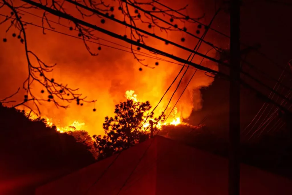
On January 13, 2025, Los Angeles faces the aftermath of devastating wildfires, resulting in at least 24 fatalities and over 180,000 evacuations in Los Angeles. The Palisades and Eaton fires, driven by strong Santa Ana winds and dry conditions, have burned thousands of acres and destroyed more than 13,400 structures. Firefighting teams are working to contain the blazes before winds potentially spread the flames further.
With wildfires becoming more common in California, having the right tools to track the fire map in L.A. is critical. Understanding the need for fire watch, this January V-Techtips will examine top 10 wildfire watch apps that can help you navigate these dangerous situations, providing real-time updates on fire activity, air quality, and evacuation zones.
Table of Contents
The Role of Wildfire-Tracking Apps in Wildfire Safety
The recent catastrophic fires in Los Angeles, which forced thousands to evacuate and resulted in numerous fatalities, underscore the importance of wildfire-tracking apps. These digital tools, including fire watch apps, are crucial for public safety.
In response to this ongoing threat and with wildfires becoming more common in California, residents must stay informed and prepared by utilizing tools like a fire map of LA to track the fires and having access to a fire evacuation map can be the difference between life and death.
These tools provide individuals with timely information and resources needed to navigate the challenges posed by wildfires, ultimately saving lives and protecting communities.
Here’s how these apps contribute to community safety:
- Real-time Alerts: Many fire watch apps offer real-time alerts about active wildfires in your area, enabling prompt evacuations in Los Angeles and preparations. They can also provide fire watch warnings, giving residents time to prepare their property or evacuate if necessary.
- Live Maps: A good fire watch app will have detailed live maps. Live maps show the exact locations and perimeters of wildfires, helping you visualize the threat and understand its proximity to your home or community. A live fire map in LA can be crucial in helping you determine when and if you need to evacuate.
- Weather Updates: Some fire watch apps integrate accurate weather forecasts. Weather forecasts integrated into the apps help predict fire movements and intensity.
- Emergency Resources: Access to emergency contact numbers, shelters, guidelines, and fire evacuation maps is readily available.
- Community Reporting: Fire watch apps with community reporting features allow users to report fires, share images, and provide updates about local conditions, enhancing situational awareness and fostering community support.
Top 10 Apps To Help Keep You Safe During Wildfires
Here’s an overview of the top wildfire-tracking apps, including key features, pros and cons, user reviews from platforms like Reddit and Quora, and pricing information.
1. Frontline Wildfire Tracker
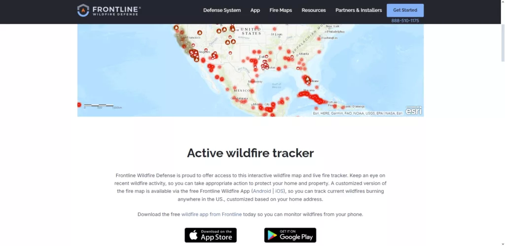
This comprehensive app provides real-time information on wildfires, including interactive maps and emergency alerts. It’s designed to help you stay informed and prepared during wildfire events.
Recommendation: Frontline Wildfire Tracker is a valuable fire watch app for anyone living in or traveling to a wildfire-prone area. Its real-time information and emergency alerts can help you stay safe during a wildfire. However, it’s important to be aware of its limitations, such as its limited coverage area.
Key Features:
- Interactive wildfire maps show the location and perimeter of active fires.
- Configurable emergency alerts notify you of new fires or changes in existing fires.
- Step-by-step evacuation checklists help you prepare for a possible evacuation.
| Pros: | Cons: |
| User-friendly interface. Free to use. No ads. |
Limited to certain regions. May not cover all wildfires globally. |
User Reviews: Generally positive feedback for its ease of use and effectiveness in providing timely updates. Users appreciate the checklist feature for evacuation preparation.
Price: Free
2. Disaster Alert
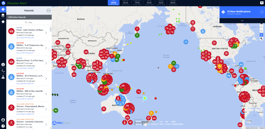
Disaster Alert is a versatile app that monitors various natural disasters, including wildfires, and provides real-time updates. It’s a helpful tool for staying informed about potential threats in your area or around the world.
Recommendation: Consider Disaster Alert if you’re looking for a versatile fire watch app that monitors various natural disasters. Its customizable alerts and global hazard map provide a comprehensive overview of potential threats. However, it’s important to be aware of the potential for inaccuracies and to manage alerts effectively to avoid feeling overwhelmed.
Key Features:
- Customizable alerts based on your geographic area of interest.
- Global hazard map displaying active incidents worldwide.
- Detailed incident descriptions provide additional context.
| Pros: | Cons: |
| Covers multiple types of disasters, making it a comprehensive safety tool. User-friendly interface for easy navigation. |
Some users report occasional inaccuracies in alerts. The volume of information can feel overwhelming at times. |
User Reviews: Users appreciate the app’s comprehensive coverage but suggest managing alert settings to avoid information overload.
Price: Free
3. Fireguard Wildfire Tracker
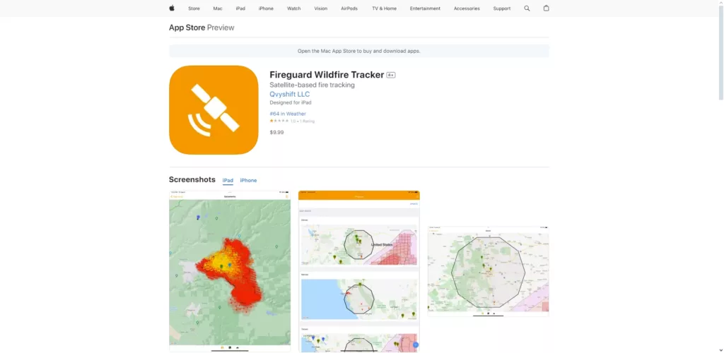
Fireguard Wildfire Tracker offers near real-time tracking of wildfire locations using satellite data. This app can be a valuable tool for staying aware of wildfire activity, especially in areas where fires are common.
Recommendation: Fireguard Wildfire Tracker is a good fire watch app option for basic, real-time wildfire tracking. However, if you need comprehensive information, including detailed local reports and emergency alerts, consider exploring apps with a broader range of features.
Key Features:
- Hotspot detection: The app uses satellite data to identify and track wildfire hotspots.
- Incident reports: Provides incident reports from NASA and NOAA, offering some official information about active fires.
- Crowdsourced fire reports: Includes user-submitted reports to supplement official data.
| Pros: | Cons: |
| Real-time updates on fire locations. Easy to navigate interface. |
Limited features compared to other apps. May lack detailed local information in some areas. |
User Reviews: Users appreciate the accurate tracking but desire more detailed incident reports for a complete understanding of the situation.
Price: Free
4. Watch Duty
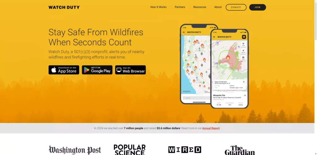
Watch Duty is a volunteer-driven service that aggregates wildfire information from various sources, including user reports and official data. This allows for a community-based approach to wildfire tracking, making it a go-to source for up-to-date information on Watch Duty fires.
Recommendation: Watch Duty can be a valuable supplementary fire watch app for staying informed about wildfires. Its community-driven approach provides a unique perspective. However, it’s important to remember its limitations and use it alongside official sources like government agency apps or websites for critical emergency information.
Key Features:
- Satellite data: Utilizes satellite data for fire tracking, providing a visual representation of fire locations through the Watch Duty fire map.
- Community reporting: Encourages users to report fires and share updates, enhancing situational awareness.
- Smoke and wind alerts: Provides alerts related to smoke conditions and wind patterns, which can significantly influence fire behavior.
| Pros: | Cons: |
| Community-driven updates offer a broader perspective on wildfire activity and are reflected in the Watch Duty fire map. Combines information from multiple sources for a more comprehensive overview. |
Not an official emergency alert system, so it should not be your sole source of information during a wildfire. Relies on volunteer input, which can vary in quality and timeliness. |
User Reviews: Users appreciate the community aspect and real-time updates but advise using Watch Duty in conjunction with official sources for the most reliable information.
Price: Free
5. Fires
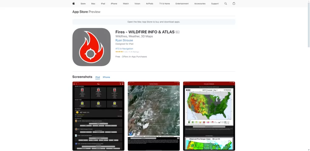
Fires offers detailed information about active wildfires across the U.S., including maps and weather conditions. This app can be a helpful resource for staying informed about wildfire activity, especially if you live in or plan to visit an area at risk.
Recommendation: Fires is a valuable resource for detailed information about wildfires in the U.S. However, consider your needs and preferences. If you prioritize a simple, easy-to-navigate interface, explore other options. If comprehensive data is paramount, the Fires fire watch app might be a good choice.
Key Features:
- Interactive hotspot browser: Allows you to explore wildfire hotspots on an interactive map.
- Weather conditions monitoring: Provides real-time weather information relevant to wildfire behavior.
- Downloadable maps: Enables offline access to maps, which can be crucial in areas with limited connectivity.
| Pros: | Cons: |
| Comprehensive data from multiple sources, including government agencies and user reports. Free version available, making it accessible to a wide range of users. |
Advanced features may require the paid version. Some users find the interface cluttered and difficult to navigate. |
User Reviews: Reviews are mixed. While many users appreciate the comprehensive information, some find the app’s design less user-friendly.
Price: Free with a paid option for upgraded features.
6. Augurisk
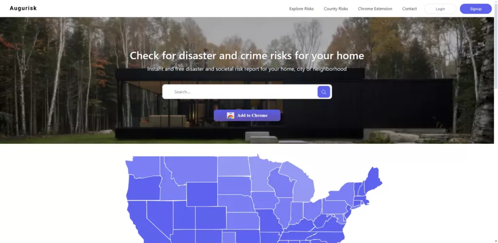
Augurisk is a risk assessment tool that provides predictive analysis of natural hazards, including wildfires. It’s designed to help individuals, communities, and businesses understand and mitigate their risk from wildfires and other natural disasters.
Recommendation: Augurisk is a powerful tool for those who need to understand their wildfire risk in detail. It’s particularly useful for long-term planning and mitigation. However, if your primary need is real-time alerts and immediate information during a wildfire event, consider using Augurisk alongside a more traditional wildfire tracking app.
Key Features:
- Risk scoring: Provides risk scores for specific locations, allowing you to assess your vulnerability to wildfires.
- API access: Data is available via API, enabling integration with other platforms and systems.
- Machine learning: Uses machine learning algorithms to assess risk, providing insights based on historical data and current conditions.
| Pros: | Cons: |
| In-depth risk analysis tailored to specific areas, allowing for a more personalized understanding of wildfire risk. Useful for long-term planning and mitigation efforts. |
May be too technical for casual users who simply want real-time alerts and basic information. Not primarily focused on real-time alerts, so it should be used in conjunction with other tools for immediate updates during a wildfire. |
User Reviews: Users who need detailed risk assessments find Augurisk’s analytical capabilities valuable. However, some familiarity with risk assessment terminology is beneficial.
Price: Pricing varies based on API access.
7. Zoom Earth
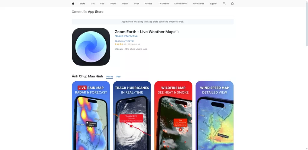
Zoom Earth provides real-time satellite imagery and weather data to track wildfires globally. Its visual focus makes it a valuable tool for understanding the scope and movement of wildfires.
Recommendation: Zoom Earth is a great tool for visualizing wildfire activity and understanding its broader context. However, for real-time alerts and immediate updates, consider using Zoom Earth alongside a dedicated fire watch app.. This combination will provide both a visual overview and timely notifications.
Key Features:
- Live satellite imagery: Frequently updated images offer a clear view of fire activity.
- Smoke and fire monitoring: Tracks smoke movement and fire containment efforts, providing insights into the fire’s progression.
| Pros: | Cons: |
| Highly visual and informative, making it easy to grasp the situation at a glance. Excellent for tracking multiple environmental factors that influence wildfires. |
May require a stable internet connection for optimal use, which can be a challenge in certain situations or locations. Not specifically designed as a wildfire alert system, so it should be used in conjunction with other apps for real-time notifications. |
User Reviews: Users appreciate the visual clarity and comprehensive environmental data but note the absence of direct alert notifications.
Price: Free
8. Genasys Project

Genasys Protect is a crucial tool for residents in fire-prone areas, providing real-time evacuation zone information during wildfires. This resource can be vital for understanding if your location is under an evacuation order.
Recommendation: Genasys Protect is a vital fire watch app for residents in fire-prone areas. Its real-time evacuation information can be crucial for making informed decisions during wildfires. However, be aware of its regional limitations and potentially less user-friendly design.
Key Features:
- Real-time evacuation zone mapping: Displays current evacuation zones, helping you determine if you need to evacuate.
- Accessibility: Accessible through the LA County website if the app is unavailable, ensuring you can access information even during disruptions.
| Pros: | Cons: |
| Highly relevant for residents in fire-prone areas, offering specific guidance during emergencies. Accurate evacuation information from official sources. |
Limited functionality outside of specific regions, making it less useful for those outside covered areas. May not be as user-friendly as other apps with more intuitive interfaces. |
User Reviews: Users emphasize the accuracy of the information during emergencies, but some find the app less intuitive than they would prefer.
Price: Free
9. IQAir
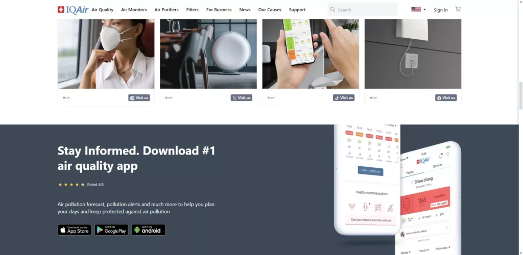
IQAir is a valuable tool for monitoring air quality, especially during wildfire events when smoke can significantly impact health. This app provides detailed information about air quality in your specific location.
Recommendation: IQAir is an excellent resource for monitoring air quality, particularly during wildfire events. If you need real-time fire tracking and comprehensive wildfire information, consider using IQAir in conjunction with a dedicated fire watch app. This combination will provide a complete picture of both the fire itself and its impact on air quality.
Key Features:
- Localized air quality data: Gathers data from community monitors to provide hyperlocal air quality readings.
- Air quality alerts: Sends alerts based on air quality levels, helping you take precautions when air pollution is high.
| Pros: | Cons: |
| Detailed air quality information tailored to your location, allowing you to make informed decisions about outdoor activities and health precautions. Useful during wildfire smoke events to assess air quality and minimize exposure to harmful pollutants. |
Primarily focused on air quality rather than fire tracking, so it may not provide comprehensive wildfire information. Limited wildfire-specific features compared to apps dedicated to wildfire monitoring. |
User Reviews: Users appreciate the localized air quality data but express a desire for more comprehensive wildfire tracking capabilities within the app.
Price: Free with premium options available.
10. Smoke Alert
Smoke Alert is a valuable tool for prioritizing health safety during wildfires, particularly for those with respiratory sensitivities. This app combines air quality monitoring with wildfire updates to provide a comprehensive picture of potential risks.
Recommendation: Smoke Alert is a useful tool for those concerned about air quality during wildfire events. Its combination of air quality monitoring and wildfire updates provides valuable context for making informed decisions about your health. However, if you need detailed fire tracking information, consider using Smoke Alert alongside a dedicated wildfire tracking app.
Key Features:
- Air quality monitoring: Provides real-time air quality data with customizable alerts, allowing you to take precautions when air pollution levels rise.
- Wildfire updates: Integrates wildfire information to provide context for air quality changes, helping you understand the source of pollution and its potential impact.
| Pros: | Cons: |
| Focused on health safety during wildfires, offering specific guidance and alerts related to air quality. Timely notifications about air quality changes enable you to take proactive steps to protect your health. |
Limited geographic coverage compared to broader wildfire apps, so its usefulness may vary depending on your location. Primarily focused on air quality rather than fire tracking, so it may not provide detailed information about fire location and behavior. |
User Reviews: Users appreciate the app’s focus on health safety during wildfire season, but some express a desire for more comprehensive fire tracking features.
Price: Free
How to Choose the Best Fire Watch App for You
Selecting the right wildfire app is essential for your safety and preparedness. Consider these factors to make an informed choice:
1. User Interface: A user-friendly interface is crucial, especially during emergencies. Look for apps that offer quick access to critical information. A well-designed interface can reduce stress in high-pressure situations.
2. Alert Accuracy: Choose an app with a reliable notification system that provides timely and accurate alerts about nearby wildfires, evacuation orders, and other critical updates.
3. Additional Features: Consider features like integrated weather forecasts, air quality monitoring, and community reporting. These can enhance your preparedness and response strategies.
4. Coverage Area: Ensure the app covers your location and any other areas where you or your loved ones might be at risk.
5. Reliability: Research user reviews and ratings to assess the app’s performance and dependability. Look for feedback on the accuracy of alerts, ease of use, and overall user satisfaction.
Conclusion: Which is the Best Wildfire Tracker App?
In conclusion, while each app has unique strengths, the best choice depends on individual requirements. Factors such as user interface, alert accuracy, additional features (like fire watch warnings), coverage area, and reliability should all be considered when making your decision.
Watch Duty stands out for its community-centric approach and real-time updates on Watch Duty fires, making it a solid choice for comprehensive wildfire tracking. However, users might prefer FireGuard for its detailed weather data or Smoke Alert if air quality monitoring is a priority.
In the face of the LA wildfire, the need for innovative solutions is higher than ever. Harness cutting-edge technology to keep communities safe and informed. Reach out to Vinova today and start building a safer future! Or keep up with us for the latest tech updates.